- 视频 /
- 音频
-
景点介绍:
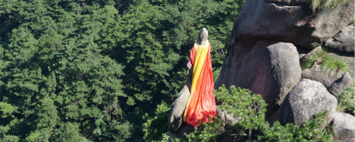
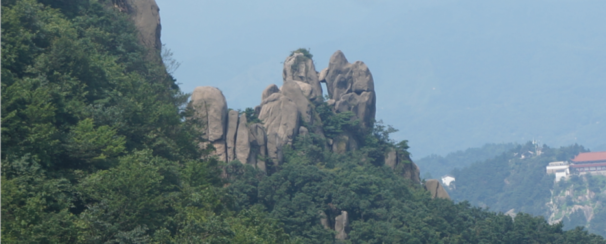
花岗岩崩塌堆积地貌 花岗岩崩塌堆积地貌,是九华山世界地质公园典型地质景观之一,指花岗岩岩体在自然营力作用下,经风化、流水冲刷、重力作用,沿岩体节理、裂隙与基岩分离,顺山坡崩落,最终堆积于坡脚、沟谷等地形成的地貌形态。这些崩落的岩石,经长期流水冲刷与相互摩擦发生磨圆作用,逐渐形成形态各异、错落分布的巨石堆积体。 Granite Collapse Accumulation Landform Granite collapse accumulation landform is one of the typical geological landscapes of Jiuhuashan UNESCO Global Geopark. It refers to a landform type formed as follows: under the action of natural forces, granite rock masses undergo weathering and fluvial erosion. Along joints and fractures, the rock masses separate from bedrock, collapse down the slope under gravity, and finally accumulate at slope toes and valleys. After long-term fluvial scouring and mutual friction, the collapsed rocks experience rounding, gradually forming scattered boulder accumulations with diverse shapes and staggered distribution. 화강암 붕괴 퇴적 지형 화강암 붕괴 퇴적 지형은 구화산 세계지질공원의 대표적인 지질 경관이다. 이는 화강암이 풍화, 수류 침식, 중력 작용에 의해 절리와 균열을 따라 분리되어 산비탈을 따라 붕괴·이동한 뒤, 사면 하부나 계곡에 쌓여 형성된 지형이다. 이러한 암석들은 오랜 시간 물의 작용과 상호 마찰로 둥글게 마모되어 다양한 형태의 거석 군집을 이룬다.
-
评论列表
评论列表
评论列表
评论列表
评论列表
 HOT
HOT